Genesys plans digital twin of all of urban India
- December 13, 2021
- Steve Rogerson
Mumbai-based Genesys plans to make a digital twin of all of urban India.
The creation of this accurate 3D data should lead to applications opening up in high-definition mapping, which was hitherto not possible, for smart cars, ecommerce, logistics, gaming, utilities, telecoms, renewable energy, and disaster management and emergency response.
Moreover, with all the smart city components, the digital twin of cities should put India on the map with cities that are now using this geospatial technology.
Genesys has a constellation of sensors in India, consisting of aerial mobile and terrestrial systems capable of imaging at very high speeds and resolution. It has also filed for patents in geocoding for addressing 3D data as well as automated capture of features from 3D street map imagery
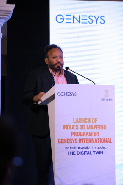
“The digital twin platform of urban India will herald a transformation in map usage in this country as we would have mapped literally every inch of the city,” said Sajid Malik from Genesys. “These highly accurate 3D data – a step towards the metaverse – will mean an essential part of the digital India economy system. Now, data of this kind would be available for license to a host of users.”
The launch programme was inaugurated by Amitabh Kant from the Indian government. He said: “The new geospatial policy focuses on innovation and in harnessing the capability and content of companies like Genesys who have done pioneering work. Our prime minister has been a key advocate of using geospatial content in a host of applications, and his vision of self-reliance is manifested in the landmark geospatial policy. This will have a huge impact on the entire ecosystem of innovation, digitisation, fintech and start-ups.”
He said with this digital twin content programme, highly accurate digital 3D maps would be available for the first time, which would depict reality on an as-is basis.
“This programme will benefit a huge number of start-ups and private enterprises,” he added.
Furthermore, tweeting about his presence at the event, Kant said: “Delighted to launch pan-India geospatial programme by Genesys to make a digital twin of urban India. A digital twin of our cities will put us ahead of most advanced cities of the world – and bring us at par with select cities already using this tech.”
The emergence of developments such as the India 3D maps programme could set a higher standard for the industry and aid the public and private sector to incorporate the technology in building a smarter future.
Headquartered in Mumbai, Genesys operates several geospatial production and application development centres in India. The company has been delivering services across the globe for the past 23 years.