Quectel announces GNSS modules at Embedded World
- June 28, 2022
- Steve Rogerson
At last week’s Embedded World in Nuremberg, Chinese firm Quectel announced the LC29H dual-band multi-constellation GNSS module and the LC76G single-band compact GNSS module with fast and accurate location performance and low power consumption.
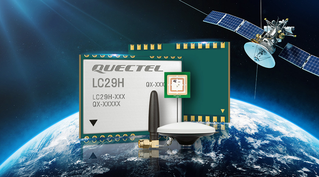
Built using the Airoha AG3335 platform, the LC29H is available in multiple variants and optionally integrates RTK and DR. The series provides precision positioning at the centimetre and decimetre levels. These modules are suitable for autonomous lawn mowers, drones, precision agriculture, micro-mobility scooters and delivery robots as well as other industrial and autonomous applications.
“High precision positioning with centimetre level accuracy is becoming increasingly vital for many new IoT applications,” said Patrick Qian, CEO of Quectel. “Robotics, UAVs and industrial applications needing precise navigation are driving new market requirements and we are very excited to launch our newest generation of high-precision positioning modules.”
The LC29H concurrently receives and processes signals from GPS, Glonass, Beidou, Galileo and QZSS, which with the support of SBAS increases satellite signal availability. The module supports L1 and L5 dual-band signal reception, thereby ensuring that terminals can speed up convergence time, improve positioning accuracy, and achieve fast response times even when the signal is interrupted.
The dual band design mitigates the multipath effect experienced near high-rise buildings or in deep urban canyons, and provides reliable positioning performance.
Some versions contain six-axis IMU inertial sensors (three-axis accelerometer plus three-axis gyroscope), and integrate RTK and DR positioning algorithms, allowing for continuous lane-level accurate positioning where the satellite signal is partially or completely blocked, such as underground parking lots, tunnels, urban-canyons or forests. When the satellite signal is re-acquired, the LC29H combines inertial sensor data with GNSS signals, and the integrated navigation can provide fast convergence times and decimetre level positioning accuracies.
To improve performance when used with a passive antenna, a built-in LNA and an internal SAW filter ensure sensitivity and positioning accuracy.
The LC29H adopts a 12nm process, dual-frequency receiver chip and low-power management, thereby enabling low-power GNSS sensing and position fixing. This makes it suitable for power-sensitive and battery-powered devices including handheld devices, asset trackers and shared vehicles.
Featuring an LCC form factor and a footprint size of 12.2 by 16.0 by 2.5mm, the design allows for system integration and smooth migration of legacy designs to the latest high precision GNSS technologies.
There are variants targeting different applications. The LC29H(EA) is for agricultural drones as well as electricity power detection terminals, and can improve the anti-interference capability of complex systems. The LC29H(BA) is suited to agricultural machinery and specialised vehicles, and the LC29H(DA) can enable centimetre-level accuracy in connected lawnmowers and safety helmets.
Additionally, the LC29H can be bundled with Quectel’s off-the-shelf and customised GNSS antennas. Passive and active antennas are provided. Customised connector types and cable lengths are available along with antenna design support including simulation and testing services. The manufacturing of customised antennas is also available to fast-track product development.
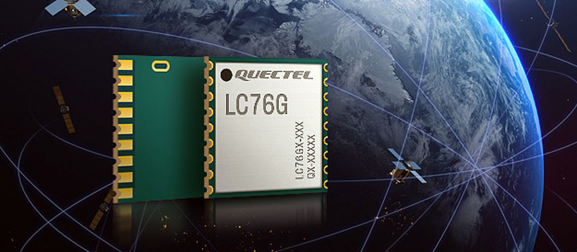
The LC76G single-band GNSS module has entered mass production with sufficient supply to meet the needs of the global positioning market.
Based on the Airoha AG3352 platform, the LC76G can also concurrently receive and process signals from GPS, Glonass, Beidou, Galileo and QZSS. It can receive signals from up to 47 satellites and achieve 1.5m (CEP50 open-sky) positioning accuracy representing a 40% improvement over previous generations of devices.
The low-power version consumes less than 9mA at 3V with all four constellations enabled allowing for a 72% reduction in power required than previously possible. This makes it suitable for battery operated devices such as wearable personal trackers, wildlife and livestock tracking, toll tags, portable container trackers as well as traditional markets such as shared mobility and low-cost asset trackers.
Featuring an internal SAW filter and integrated LNA, the LC76G can be connected directly to a passive patch antenna and provides filtering against unwanted interference ensuring performance even while driving through dense urban canyons.
Integrated AGNSS technology EPO is supported and reduces the time to first fix (TTFF) with a hot start taking less than one second and a warm start within two seconds, and the cold start can obtain accurate tracking fixes within 15s. The faster GNSS fixes make it possible to use accurate positioning and navigation services anytime and anywhere with a smaller power budget than previously possible.
While EPO requires manual download of predicted orbits, the LC76G also supports the Easy embedded assist system where predicted orbit information is collected directly from the satellites and provides for up to three days of accelerated fixes.
Both EPO and Easy are available for each constellation allowing for faster TTFF and reduced dependency on any particular constellation.
With an LCC form factor and a size of 10.1 by 9.7 by 2.4mm, the footprint is compatible with other products as well as Quectel’s legacy L76 and L76-LB modules, allowing for a smooth migration of existing designs to the latest low power GNSS technology.
The LC76G can be combined with a selection of GNSS L1 antennas to enable various positioning requirements. Customised connector type and cable length as well as antenna design and test support are available to facilitate product development.