Self-driving vehicles in Oxfordshire transport plan
- July 18, 2022
- Steve Rogerson
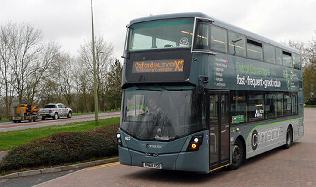
Oxfordshire has become the first UK council to include self-driving vehicles in its Local Transport Plan and sees harnessing technology and data as key to a thriving transport system.
Some £3.5m has gone towards projects to drive forward the development of hi-tech vehicles and the intelligent infrastructure to support them.
UK firm Alchera’s AI-powered, cloud-based software platform provides real-time data on the movement of vehicles and pedestrians around cities and major infrastructure by machine-learning algorithms making use of existing city sensors and camera networks to deliver real-time data, allowing operators to develop dynamic and smart city offerings.
Oxfordshire County Council’s research and innovation team, iHub and Alchera Data Technologies have completed phase two of its New Mobility project. The project is designed to reduce traffic congestion and pollution by using real-time data insights.
The overarching goal of the two-phase project was to enable data-driven decisions for transport network management supported by a collaborative data environment.
In phase one, Alchera undertook a research project with control room users and then fused floating vehicle data from TomTom with existing under-road counters by CA Traffic to detect abnormal traffic conditions, which enabled the council’s transport team to react faster to adverse conditions across the road network.
“Finding a way to ensure all of Oxfordshire’s transport systems have access to the same data on which to make real-time decisions is critical,” said Ruth Anderson, team leader at the council’s iHub. “We can’t possibly hope to build intelligent infrastructure if all the systems are using different data. Alchera’s data hub, Alpha, gives us the ability to coordinate all our transport systems’ data needs, ensuring consistent analysis across the board both in real-time and historically to understand the impact of decisions.”
Phase two built on the earlier successes and developed a functioning transport data exchange designed for public sector data analysts containing mobility data from BODS, ABODS, local bus companies, traffic sensors, CCTV networks ANPR cameras and more with a £1m Small Business Research Initiative (SBRI) grant.
“The inclusion of accurate, real-time mobility data will become increasingly important in the operation of advanced transport systems of the future,” said Laura Peacock, innovation hub manager at Oxfordshire County Council. “It’s great to see companies like Alchera bringing exciting new technologies that will change the game; their approach has huge potential. We should expect to see some disruptive dynamic business models emerge off the back of this.”
Alchera’s machine-learning algorithms make use of existing city sensors and camera networks, delivering real-time data said to be unmatched in its granularity, and allowing operators to develop innovative dynamic and sustainable smart city offerings.
The systems developed will lead to a prototype that will be capable of offering transport data to technology development companies and the public.
As well as work to enable connected and autonomous vehicles on roads, other developments that could emerge from the research are live data apps on transport flows and patterns. The research involved and the final product will also enable better collaboration within the council on data sharing work on transport.
“When you are trying to deal with complex, congested cities, being able to react to situations in real-time is key,” said Anna Jordan, co-founder of Alchera Technologies. “Our largest system integration combines thousands of sensor sources and performs hundreds of thousands of measurements every day. This represents the only demonstration of absolute, real-time traffic counts and classifications, at city scale, in the UK today. Data in the system are handled in a fully transparent and auditable way, recognising that data ownership and usage will be critical in future smart cities.”
The smart cities project uses an AI-powered software platform to give absolute, real-time data on vehicle and pedestrian movements around cities and major infrastructure.