Presagis Unreal Engine Twins for Cities
- February 1, 2023
- William Payne

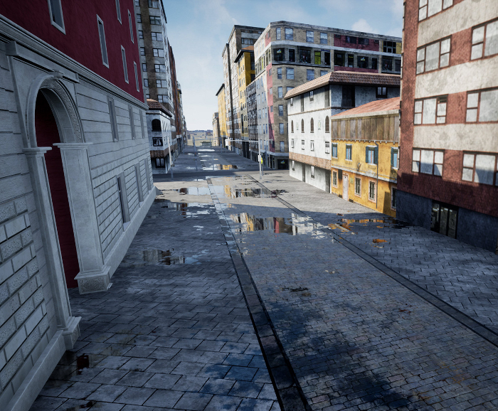
Digital twin specialist Presagis has developed a plugin for the 3D computer graphics engine Unreal Engine, which allows users to load GIS-generated digital twin data to create highly realistic visualisations and simulations of entire cities. The plugin, which also links the VELOCITY 5D production platform, will allow city planners to visualise and model complete transport routes, utility corridors, urban districts and extensive urban landscapes with complete geospatially accurate 3D simulations.
According to Presagis, the most beneficial applications for the plugin will be in urban planning, disaster preparation and defence simulations that need to include expansive geographies. Visualisations that span long linear distances, such as the design of transportation routes and utility corridors, will also benefit. V5D for Unreal is an extension of the cloud based CDB production pipeline VELOCITY 5D. V5D for Unreal allow users to create custom visualisation and simulation experiences in Unreal Engine while natively loading OGC CDB content produced by Velocity 5D platform or other OGC CDB compliant toolsets.
“The primary application of the Unreal Engine Plugin will be in 3D visualisation applications covering large geographic areas because of V5D’s unmatched ability to produce 3D digital twins from massive geospatial data sets,” said Jean-Michel Briere, Presagis President. According to Briere, V5D users will be able to make powerful 3D fly-throughs and immersive simulations of their GIS-based digital twins. Unreal Engine users can now incorporate geospatially accurate cityscapes and terrains into their 3D experiences.
Launched in November 2022 by Presagis, V5D is a cloud-based platform that quickly and automatically converts massive volumes of geospatial data into high-fidelity 3D digital twins. With no geospatial processing expertise, V5D users can easily produce accurate digital twins from multiple 2D data sets, including GIS vector layers, remote sensing imagery, and other structured and unstructured data of any size, format, or type.
Developed by Epic Games, Unreal Engine is the 3D computer graphics generator that powers popular video games. Due to its vivid graphics and extremely accurate spatial presentation capabilities, Unreal Engine is increasingly being employed in other industries using 3D visualisation and simulation technologies for improved understanding of current or future situations, risks and conditions.


