Farmers Edge Extends Satellite Imaging Relationship
- June 15, 2021
- William Payne
Agricultural tech company Farmers Edge has engaged in a new three-year contract with San Francisco based Planet, which operates the largest fleet of Earth-imaging satellites.
Planet’s satellite data is processed using Farmers Edge proprietary algorithms, integrated into other field-centric datasets, then distributed to thousands of customers and partners in the agriculture industry who need accurate insights to make informed and profitable decisions.
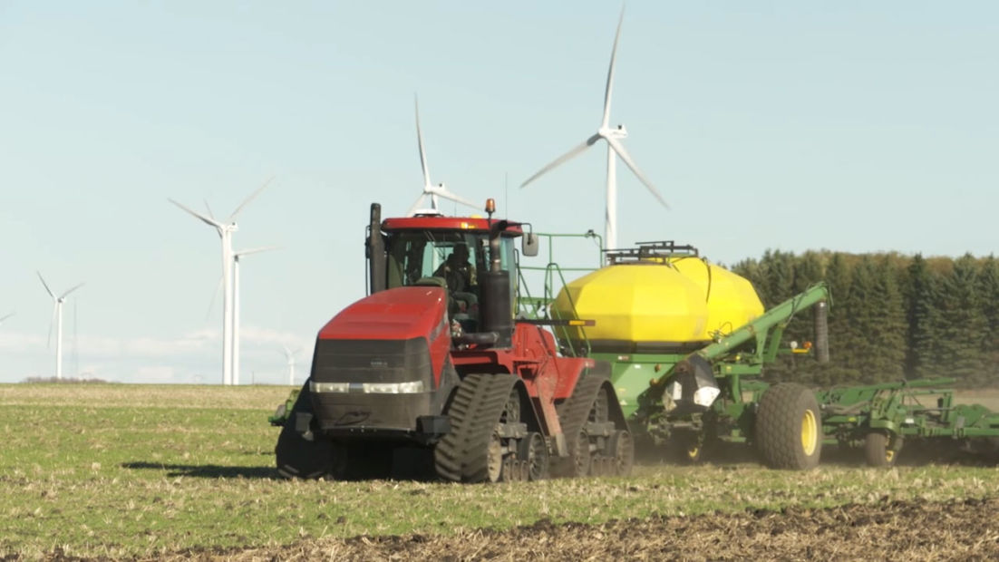
Farmers Edge uses near real-time crop monitoring with high-resolution, high-frequency satellite imagery to allow directed scouting, enabling farmers to catch problems and react to crop stress faster, and reduce the number of trips to the field otherwise required.
The company also applies satellite imagery to develop sustainable cropping systems that make the most out of crop inputs while reducing environmental impacts.
Farmers Edge imagery-derived products are used beyond the farm. Agricultural insurance companies use the technology for more efficient and precise claims management, planting date verification and production data confirmation.
“As we continue to grow, we are committed to enhancing our product suite to deliver digital tools that foster data-driven decisions for our farmer and partner network,” said Wade Barnes, Farmers Edge Chief Executive Officer and Founder. “Farmers Edge is designing and developing new imagery-derived, analytics-based digital solutions to support sustainable, profitable, and proactive farming.”
“Planet’s daily, global satellite data combined with Farmers Edge advanced product suite empowers farmers across the globe to deploy precision agriculture practices, resulting in more efficient agricultural production,” said Will Marshall, Planet CEO and Co-founder. “This data is key to fostering regenerative agricultural practices at scale; we’re excited to continue partnering with Farmers Edge to drive toward a greener future.”